
Become a supporter
Hi folks. Wondering if anyone knows the answer to this. I was just trying to plan a route from a vacation home to another city, and I was surprised that cycle.travel wouldn't do it. It couldn't connect the locations as they were linked by roads it appears not to use in the routing engine. It shows these roads as a gray dashed line, presumably inaccessible to the planning engine, which I don't understand (and doesn't seem to be in the key). I'm an OSM editor, so I checked the roads, and they were tagged "residential" and didn't have pavement tags of any kind. I updated them to reality, and I understand it'll take time for that to be pushed out to OSM servers.
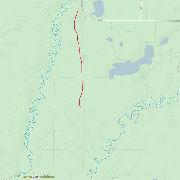
However, I'm wondering if the engine excluded these roads because of the lack of pavement info, or the residential tag -- or something else entirely. For what it's worth, using other OSM-based routing engines (Garmin connect being just one example), the roads show up as normal and route just fine even before I updated the tags to match reality. (Most of these "residential" roads are actually tertiary, but I think that under normal circumstances, residential roads should be preferred connections for cycling as they're normally in good shape and low on traffic.)


Made in the Cotswolds. Published by Éditions Système D Ltd.
Log in with your cycle.travel account:
| Password |
Or simply use your account on:
